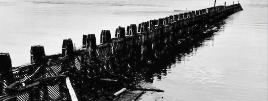
Bumgard Island
The U.S. Army Corps of Engineers, St. Louis District, conducted a study of the flow and sediment transport response on the Mississippi River between River Miles (RM) 36.00 and 25.00, approximately 3.5 miles downstream of Commerce, Missouri. This study was funded by the Regulating Works Project. The objective of the model study was to produce a report that outlined the results of an analysis of various river engineering measures intended to reduce or eliminate the need for repetitive channel maintenance dredging between RM 34.50 to 27.20.
The purpose of this study was to find a river engineering solution to reduce or eliminate dredging at RM 34.50 to 27.20 and produce a report that communicates the results of the Hydraulic Sediment Response (HSR) model study.
The goals of this study were to:
- Investigate and provide analysis on the existing flow mechanics causing the sedimentation problems.
- Evaluate a variety of remedial measures utilizing an HSR model with the objective of identifying the most effective and economical plan to reduce or eliminate sedimentation at RM 34.50 to 27.20. In order to determine the best alternative, three criteria were used to evaluate each alternative.
- The alternative should reduce or eliminate sedimentation from RM 34.50 to 27.20.
- The alternative should maintain the navigation channel requirements of at least 9 foot of depth and 300 foot of width.
- The alternative should avoid and minimize negative impacts to environmental features within the reach.
- Communicate to other engineers, river industry personnel, and environmental agency personnel the results of the HSR model tests and the plans for improvements.
