
Thompson Bend Riparian Corridor Project
Middle Mississippi River Miles 30.0 to 5.0 (above Cairo)
An Environmentally Based Solution to a Navigation and Flood Control Concern
Jerry Rapp, P.E. Hydrologic Hydraulics Branch
U.S. Army Corps of Engineers St. Louis District 122 Spruce St. St. Louis, MO 63103
POC - Water Control Office 314-331-8342 800-432-1208
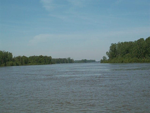
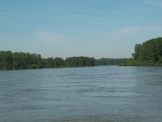
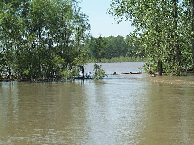
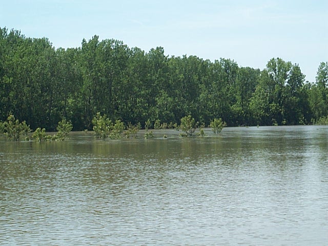
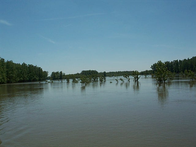
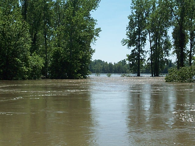
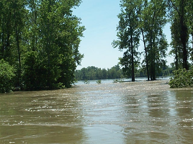
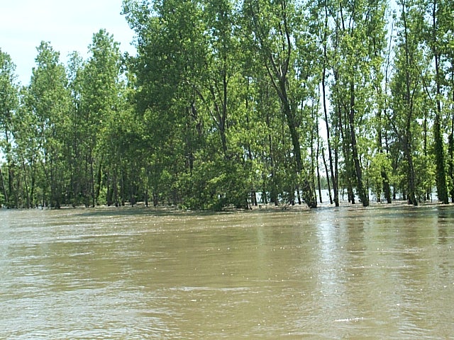
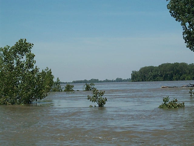
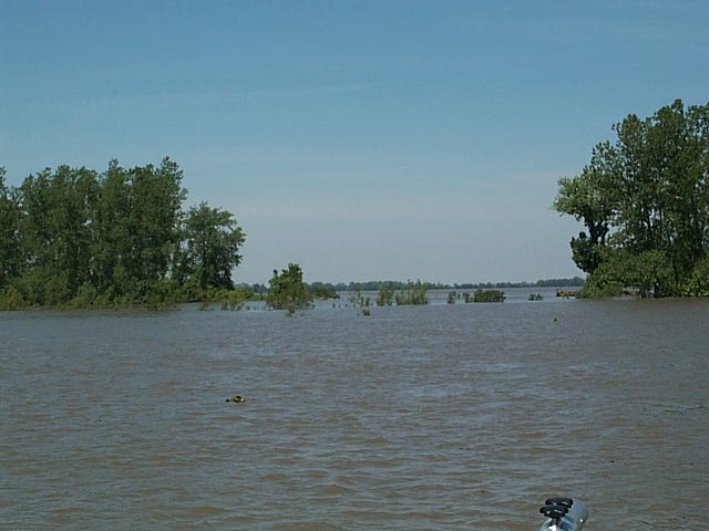
May 2002 Flood Photos - More flood data will be added later. Velocity and flow data was collected on 22 May, 2002, with an Acoustic Doppler Current Profiler. After the data is processed and analyzed, the information will be presented here. Click on the individual thumbnail images for a full size view. Aerial photography will also be available soon:
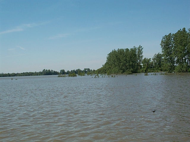
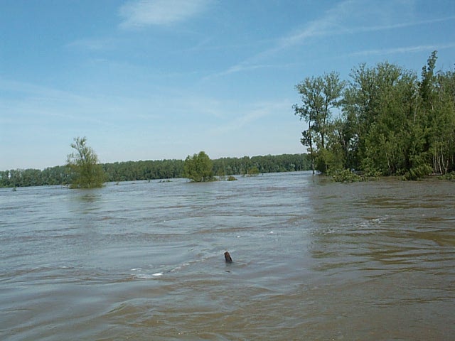 Lower Dry Bayou, looking towards river |
 Lower Dry Bayou, looking towards river |
 Lower Dry Bayou, looking towards river |
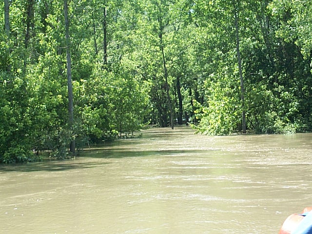
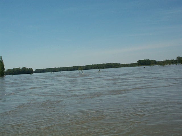 Looking at Access Road, toward I-57 Bridge |
 Gap in Drinkwater Tree Screen |
 Sunburst Trees |
 Sunburst Trees |
 Graveyard Ridge Scour Hole |
 Graveyard Ridge Scour Hole |
 Backside of Sunburst Tree Screen |
 Hillhouse No. 3 |
 Hillhouse No. 3 |
 Hillhouse 4 & 5 |
 Goodin's New Scour Hole #1 |
Goodin's New Scour Hole #2 |
Project Description: From River Mile (R.M.) 7.0 above the confluence with the Ohio River at Cairo, to R.M. 24.0, the Mississippi River flows in a broad sweeping reverse curve. The distance is about 17 river miles; the average gradient is about ˝ foot per mile. The narrowest distance across the neck of the large meander loop, an agriculturally rich 10,000-acre land mass known as Dry Bayou-Thompson Bend, is just 1 Ľ miles. Given the close proximity of the confluence, flooding across this area is incredibly erratic.The River can run virtually backward – a high Ohio River backing up a low Mississippi. Or it can be viciously swift – a high Mississippi rushing to a low Ohio. The Great Flood of 1993 presented the worst example of the latter scenario. With a 14-16 foot gradient across the narrow neck of alluvial floodplain, massive erosion and scour could potentially destroy thousands of acres of valuable farmland, create a disastrous Bendway Cutoff, and erode a section of the Commerce/Birds Point Mainline Federal Mississippi Rivers and Tributaries (MR&T) Levee................click here to read the rest of the description.....
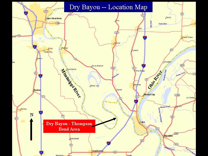
Project location, click image for full size view
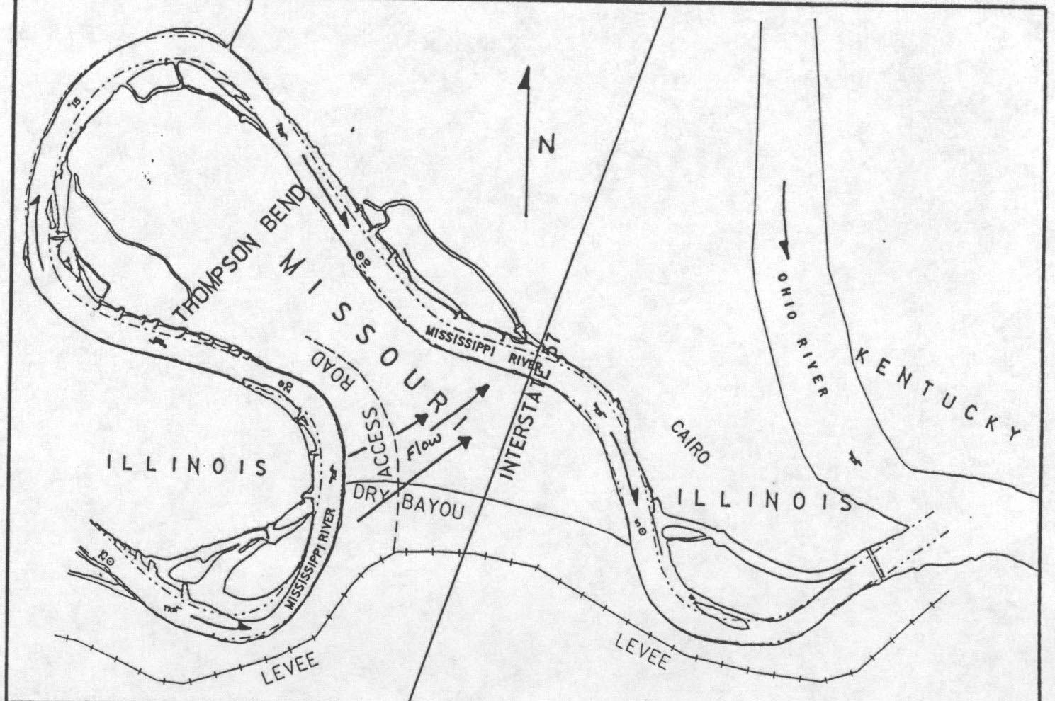
Project location in more detail, click image for full size view
A 400 word abstract which also describes the project can be accessed by View Project Summary Here
A slide presentation can be accessed by clicking below. It gives a brief synopsis of the project from the early 1980's when the cut-off Iormation began through the late 1990's. View Slide Show Here.