Lasers
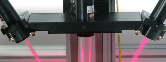
Data from the HSR model was collected with a three dimensional (3D) laser scanner and a laser doppler velocimeter (LDV). The operation of this equipment is described below.
3D Laser Scan
In order to document results from the HSR model, accurate data needs to be collected and compared to river data. The river bed in the model is surveyed with a high definition 3-D laser scanner that records thousands of xyz data points. These xyz data points are put into ARCGIS and converted into a bathymetric survey which can easily be compared to a real bathymetric survey of the actual river. The model survey and the river survey comparisons are an effective way for the engineer to determine if the general bathymetric trends of the model match the general bathymetric trends of the river.
Miniature Laser Doppler Velocimeter
Another instrument used to collect valuable data is the Mini Laser Doppler Velocimeter. This new piece of technology measures both the magnitude (speed) and direction of the water in the model. The data is put into ARCGIS and the resulting velocity vectors are compared to the river's velocity vectors collected. These results aid in determining where the model's high flows, low flows, alignment, and possibly eddies are located and if they are similar to the river's flows. Together these two methods of data collection allow the engineers at AREC to accurately and effectively model portions of the river and find successful solutions to environmental and navigation problems.


