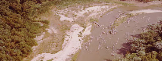
Figure - Kaskaskia River

Kaskaskia River

Figure - Powerpoint
Powerpoint
Figure - PDF
PDF
Figure - Bank Erosion and Historical Morphology Study of the Middle Kaskaskia River
5MB
2012
Saint Louis - U.S. Army Corps of Engineers
Figure - Kaskaskia Morphology Study Headwater to Lake Shelbyville KWA Mini Summit
6MB
2012
Saint Louis - U.S. Army Corps of Engineers
Figure - Lower Kaskaskia River: Carlyle Lake to the Mississippi River Confluence
5MB
2012
Saint Louis - U.S. Army Corps of Engineers
Figure - Historical River Morphology Study of The Kaskaskia River
12MB
2010
Saint Louis - U.S. Army Corps of Engineers
Figure - Bank Erosion and Morphology of the Kaskaskia River
5MB
2010
Fayette County Soil and Water Conservation District and Carlyle lake Ecosystem Partnership
Figure - Headcutting Investigation
8MB
2003
Saint Louis - U.S. Army Corps of Engineers
Figure - Shelbyville to Carlyle Kaskaskia Erosion
2MB
2003
Saint Louis - U.S. Army Corps of Engineers
Figure - Bank Erosion Study of the Kaskaskia River
6MB
2000
Saint Louis - U.S. Army Corps of Engineers